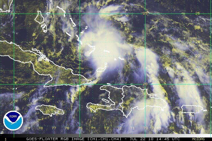
This CIMSS image downloaded onto Google Earth indicates that Bonnie has finished it's wrath with Grand Bahama, and is now aiming at Florida. I am very worried on whether or not this will be destructive, though only a tropical storm. I do not think this will have a chance to make it to hurricane strength, though. I will be shocked if it does.
Deepwater Horizon has to take cover as well as Miami. The outer bands of Bonnie will most likely hit far north of the storm, hitting Gainsville with tornadoes at worst. Then the outer band will swing infront of the storm, hitting Deepwater Horizons very hard, with winds in excess of 60 miles per hour at most. There might be tornadoes there, too. Deepwater Horizons is starting the ultimate test of riding out the storm. Although, this very well may be our last Gulf storm of the season.
After Deepwater Horizons, New Orelands is next. It will already be weakened to about 45 miles per hour, though, so the storm shouldn't swallow the city as with Katrina and Gustav.
Take cover!